Geography of the Maldives: Facts and Figures
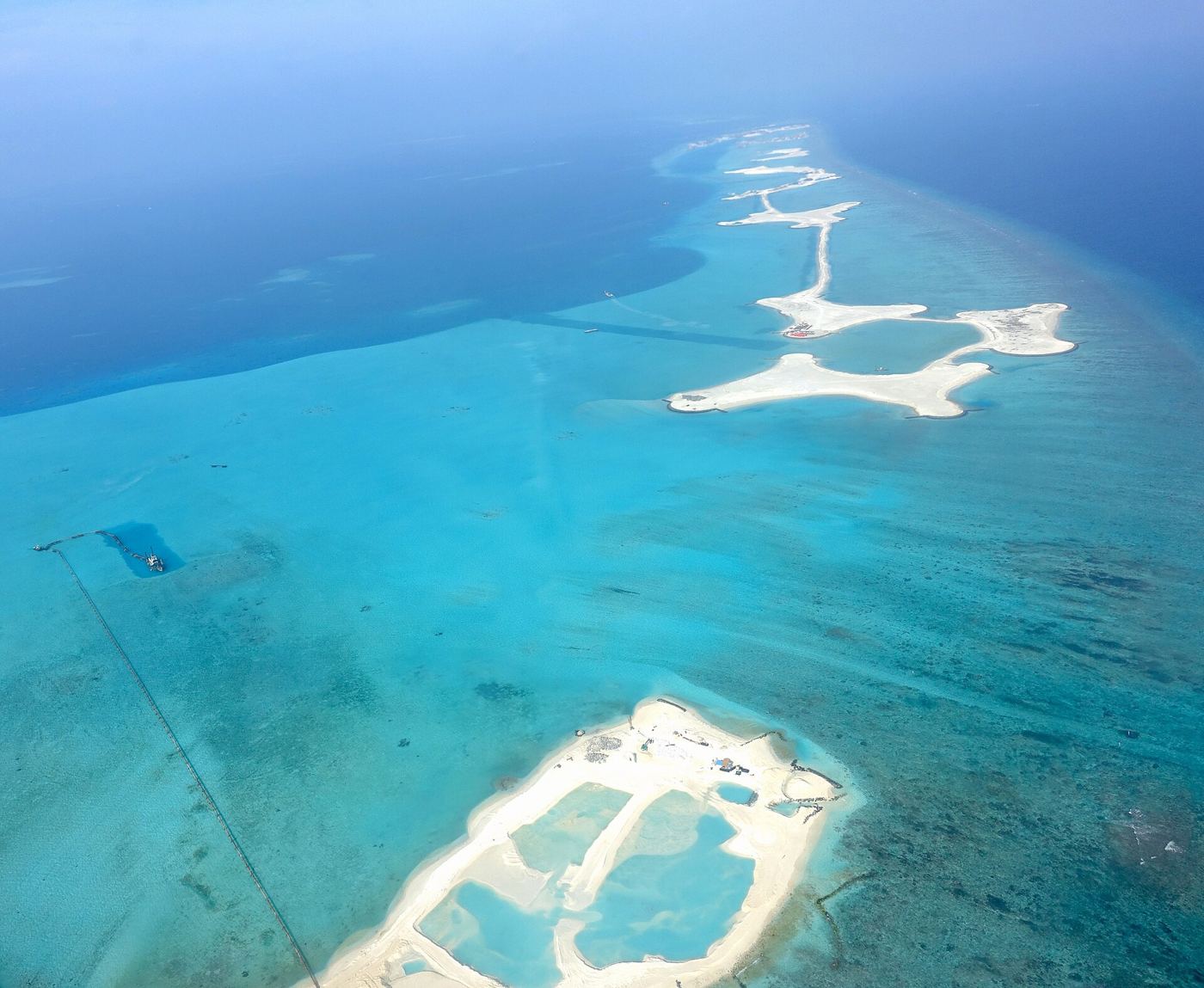
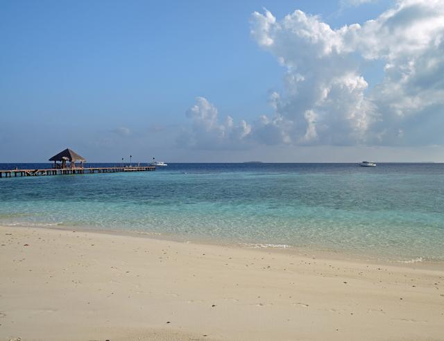
The Republic of Maldives occupies a swath of the central Indian Ocean south-west of India and Sri Lanka. Its geography is extreme in almost every measure that matters: it is among the world's most dispersed countries, and it is the lowest-lying nation on Earth.
The essential numbers
- Roughly 1,190 coral islands, of which about 200 are inhabited by local communities, with well over one hundred more developed as resort islands
- 26 natural atolls, administered as about 20 divisions plus the capital region
- The archipelago stretches about 870 kilometres north to south and roughly 130 kilometres east to west
- Total territory spans on the order of 90,000 square kilometres of ocean, yet dry land amounts to only around 300 square kilometres — about one-third of one per cent of the total
- Average natural ground elevation is roughly 1.5 metres; the highest natural point is about 2.4 metres, the lowest national high point in the world
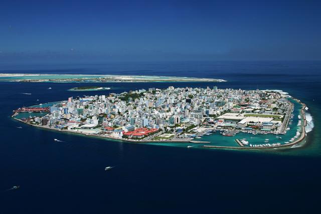
- Population is on the order of half a million, heavily concentrated in the Greater Malé region
A double chain across the equator
The atolls run in a rough double row along the submarine Chagos-Laccadive Ridge. The chain crosses the equator in the far south: Addu Atoll lies in the southern hemisphere, separated from the rest by the broad Equatorial Channel, with the one-island atoll of Fuvahmulah between it and Huvadhoo. Huvadhoo itself ranks among the largest atolls in the world by lagoon area.
Climate in brief
The Maldives has a tropical monsoon climate: warm year-round with temperatures typically between the high twenties and low thirties Celsius. Two monsoons alternate — the drier north-east monsoon from roughly December to April and the wetter south-west monsoon from roughly May to November. Sitting near the equator, the islands lie outside the main cyclone belts, and destructive storms are rare.
No rivers, no hills
There are no rivers, mountains or surface streams anywhere in the country. Freshwater exists as thin rain-fed lenses beneath islands, a few wetland lakes on larger islands such as Fuvahmulah and Hithadhoo, and rainwater and desalination supplies. Every island's outline is provisional, reshaped continually by monsoon-driven sand movement — beaches migrate around islands with the seasons.
Why the geography matters
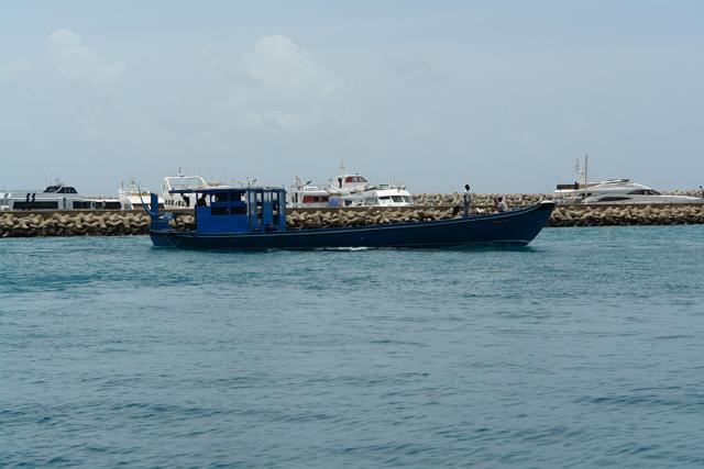
Dispersal makes transport the organising problem of Maldivian life: boats, seaplanes and domestic flights stitch the nation together. And elevation makes climate change the organising anxiety: with nearly all land within a couple of metres of the sea, reef health, island-building sediment and coastal defence are questions of national survival.
FAQ
How many islands does the Maldives have?
About 1,190 coral islands grouped into 26 natural atolls; roughly 200 are locally inhabited.
What is the highest point in the Maldives?
The highest natural point is only about 2.4 metres above sea level — the lowest national maximum on Earth.
Does the Maldives get cyclones?
Rarely. Its equatorial position keeps it outside the main tropical cyclone belts, though storms and swells still cause coastal flooding at times.